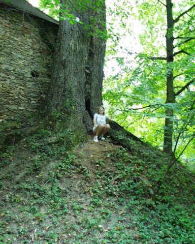
A Sibrik kastély napjainkban is a község északi határában, festőien szép környezetben, a Bozsok-patak partján áll. A kastély épületegyüttesét övező angolpark szinte beleolvad az Irottkő Natúrpark erdőségébe. A kastély helyén feltételezések szerint már a XV. században létezett épület. A középkori magra folyamatosan épült rá a XVI-XVIII. század között a késő reneszánsz típusú, egyemeletes várkastély. Négyzetes udvarát déli és nyugati oldalán épület határolja, másik két oldalán magas védőfal veszi körül. Északkeleten egy sokszögű saroktorony áll. Homlokzatépítése nemesen egyszerű. Egyetlen díszesebb része a törtvonalú párkánnyal lezárt bejárati kapuépítmény, amelyen a Sibrik és a Nádasdy család nemesi címerét tartalmazó kettős címer látható 1614-es évszámmal. Az udvari homlokzat földszintje kosáríves tornáccal kialakított. |
Address: Bozsok, Rákóczi F. út 1. |
| Openness for the public: szabadon |
 Mányoki Zsolt |
| Data sheet of the garden |
|
| | |
| Garden identificaton number: | 168 |
| Garden name: | Sibrik-kastély (felső) és parkja |
| Present size of the garden: | ha |
| Country: | Hungary |
| County: | Vas |
| Settlement: | Bozsok |
| Street: | Rákóczi F. út 1. |
| House number: | |
| Phone: | 94/360-960 |
| Fax: | |
| Email: | |
| Web site: | varakutjan.gportal.hu/gindex.php?pg=27975520http://http://http://http://http://http:// |
| WGS84 latitude coordinate: | 47.325240 |
| WGS84 longitude coordinate: | 16.492538 |
| National grid X coordinate: | |
| National grid Y coordinate: | |
| Land ownership record: | |
| Owner: | , , , , , , |
| Manager(s), renter(s): | , , , , , , |
| User: | , |
| Present function, usage: | kastélyszálló |
| Openness for the public: | szabadon |
| Opening hours: | |
| Visitors per year: | 1990: 1991: 1992: 1993: 1994:
1995: 1996: 1997: 1998: 1999:
2000: 2001: 2002: 2003: 2004:
2005: 2006: 2007: 2008: 2009:
2010: 2011: 2012: 2013: 2014:
2015: 2016: 2017: 2018: 2019:
2020: 2021: 2022: 2023: 2024:
2025: |
| Garden historical data |
|
| Type: | |
| Style, character: | Medieval, Renessaince garden |
| Special value: | |
| Importance, value: | international importance |
| Original size of the garden: | ha |
| Year(s) of garden planting: | -
|
| Present state, condition of the garden: | |
| Present structure of the garden: | |
| : | |
| Plant condition: | |
| Plans, maps: | |
| Historic county name: | |
| Historic Monument Data: |
|
| Historic monument number(s): | 7632 |
| Historic monument type: | műemlék, műemléki környezet, |
| Resolution of historic monument: | |
| Description of built objects |
|
| Main building description: | |
| Building time of the principal building: | |
| Condition of the principal building: | |
| Present function of the main building: | |
| Other buildings list: | |
| Main building style: | |
| Nature Conservation data: |
|
| Type of nature conservation: | országos (?) |
| Nature Conservation code : | |
| Natuara2000 area code: | |
| Landscape Data: |
|
| Morphology: | |
| Hydrology: | |
| Plant geography: | |
| Soil: | |
| Climate: | |
| Visual connections: | |
| Landscape Character Area name: | |
| Landscape Character Area type: | |
| | |
| Other: | 2 |
| | |
| Associated persons: | |
| Bibliography: | |
| |
| This page edited by: | kollanyi5, |
| Last modified by: | kollanyi5 2009-04-09 |
|


